Mountains
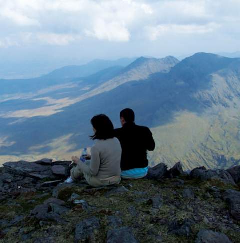
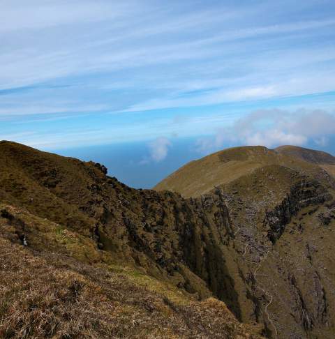
Kerry is the mountain capital of Ireland, boasting some of the most dramatic in the country and many over 600 metres high (2,000 feet) – including Carrauntoohil, Ireland’s highest peak. Besides providing breathtaking backdrops for your Kerry adventures, the mountains offer an abundance of great hikes for all ages and abilities.
The Slieve Mish Mountains overlook Tralee Bay and run along the eastern half of the Dingle Peninsula. Their numerous peaks provide important ecological value as they support populations of many rare plant species, such as Betony and Cornish Moneywort.
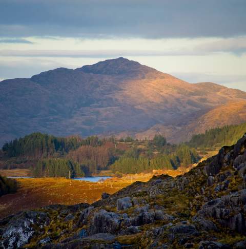
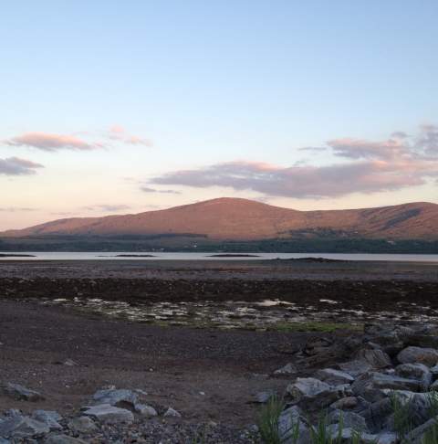
The picturesque Purple Mountain gets its name from the colour of its sandstone rock, which takes on a purple hue in certain light. At 830 metres (2,723 feet), it can be a challenging climb. Purple Mountain is bounded to the west by the Gap of Dunloe, which separates it from the MacGillycuddy’s Reeks range.
For moderate walks and families, Torc Mountain offers an extremely popular and scenic 7.5km walking route to the summit, which reaches 535 metres. This moderate hike takes approximately 2-2.5 hours and rewards adventurers with spectacular 360-degree views of Killarney town and lakes, Muckross House, the Killarney National Park and the MacGillycuddy’s Reeks. The famous Torc Waterfall sits at the base of Torc Mountain off the main Ring of Kerry road, about 8km from Killarney.
Caher is Ireland’s third-highest peak, resting to the southwest of Carrauntoohil in the MacGillycuddy’s Reeks. Caher is often climbed as part of the Coomloughra Horseshoe, which takes 6-8 hours and is described as one of Ireland’s classic ridge walks. Climbers refer to the narrow path that runs along the top of Caher West Top and neighbouring Caher, as the Caher Ridge.
Located along the DIngle Peninsula, Mount Brandon rises 3,414 feet to be the second-highest mountain in Ireland. Associated with St. Brendan, the patron saint of Kerry who set up a monastery at the foot of the mountain in the 6th century, Mount Brandon is protected as a special area of conservation due to its abundance of arctic and arctic-alpine vegetation. A hike up Mount Brandon brings you to the highest point on the Dingle Peninsula and is one of the great mountain walks on the Wild Atlantic Way.
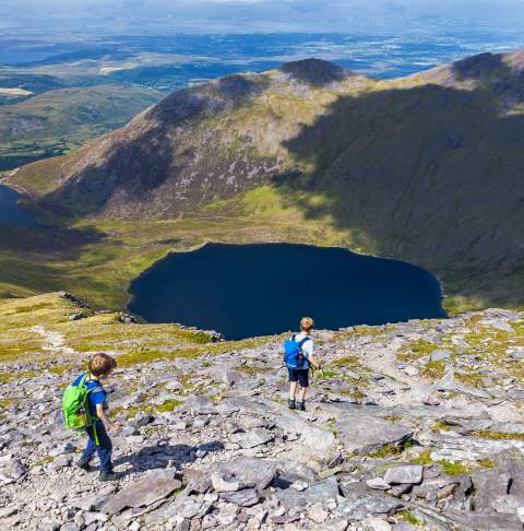
Finally, the highest peak in Ireland, Carrauntoohil, stands at 1,040 metres among the beautiful MacGillycuddy’s Reeks. There are several routes to the top, with even the most straightforward requiring good hillwalking and navigation skills. Other routes require serious scrambling and even rock-climbing skills. By whichever route, the climb is inarguably worthwhile, rewarding you with spectacular views of the surrounding valleys and lakes. To the east of Carrauntoohil is the Hag's Glen, to the west is Coomloughra. and to the south is Curragh.
The traditional route to the Carrauntoohil summit is via The Devil's Ladder, a gruelling trudge up an eroded gully path southwest of the loughs, which is unpleasantly loose and unstable. An alternative route ascends via Brother O'Shea's Gully (some rock scrambling and good route-finding ability required), a steep and challenging route through spectacular mountain scenery. The easiest descent is via the Zig-Zags to the east of the Devil's Ladder.
Given Carrauntoohil’s proximity to the Atlantic Ocean, the weather can change very quickly, so hikers should be prepared. Climbing Carrauntoohil should never be attempted without a map and compass (and the skills to use them), proper hillwalking boots, waterproofs and spare food and water.
Find your new favourites
Discover your perfect stay, catch a show, explore attractions or try a new food experience.

