Tralee - Fenit Greenway
Trail Metrics
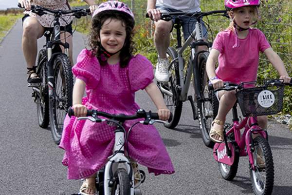
Description: The Tralee to Fenit Greenway is an off-road cycle and walking trail that is primarily flat and smooth. The purpose-built trails are designed to provide an accessible and inclusive experience for everyone.
Distance: 13.6km. A general guideline is to allow 3 hours 30 minutes to walk the full route or one hour to cycle it, at a gentle pace.
Toilet facilities: Toilet facilities are available at the Kerry District League Club, in Mounthawk, Tralee, and at Fenit Trailhead. There are no toilet facilities available on the greenway route.
Car parking: Free parking is available at the Kerry District League Club and Fenit Trailhead. Additional paid parking can be found in Tralee town.
Access points: Visitors can join or leave the route in Tralee close to the Casement Railway Station, at Bracker O’Regan Road, the Kerry District League Club, Cotter’s Bend, Kilfenora and Fenit Trailhead.
Rest facilities: Rest and picnic areas are located on the greenway, along with bike parking facilities. Picnic area 1, picnic area 2 is at 52°16'52.9"N 9°48'01.9"W, picnic area 3 is at 52°16'50.5"N 9°46'49.5"W, and picnic area 4. Note there is a bike repair station at picnic area 2.